Our
Projects
At CIIU, we promote a way of thinking about and shaping the city based on collaboration and open knowledge.
We believe that interdisciplinary research is key to building more humane, safe, and sustainable urban environments.
That is why we work alongside universities, independent researchers, citizen collectives, study groups, and public and private entities.
Through these partnerships we generate projects and studies spanning multiple fields: urban planning, geostatistics, data science, geomatics, biogeography, gender studies, sociology, risk management, and others.
Our goal is clear: to produce useful and accessible knowledge that inspires strategic decisions and transforms the way we inhabit the city.
If you have a research project you would like to visualize on our geoportal, or if you wish to collaborate in developing a new one, please contact us.


Tree Plan
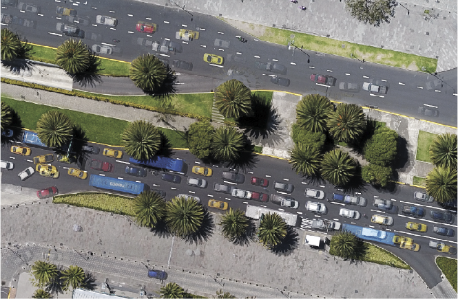
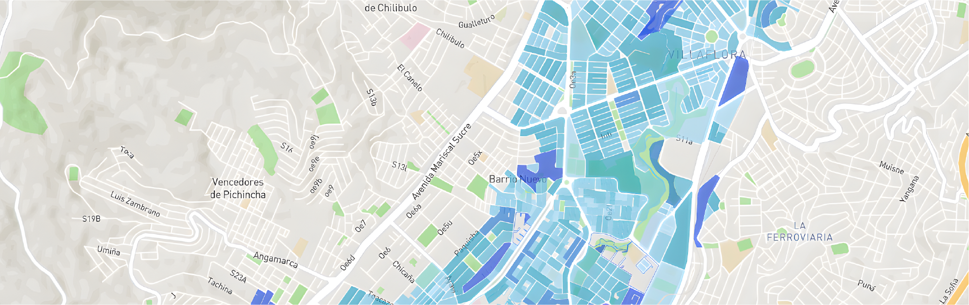
The Tree Plan is a study that analyzes the condition of 4,303 trees located on sidewalks and median strips across 13 zones of the central plateau of Quito, enabling the assessment of the environmental and ecosystem services they provide in accordance with urban needs.


Spatio-temporal Persistence of Urban Heat Islands in Quito from 2020 to 2024.
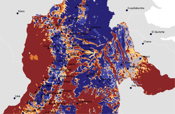
A study analyzing the evolution and persistence of urban heat islands and albedo across 47 parishes of the Metropolitan District of Quito.
Update of the study on Factors Influencing Housing Prices, 2024.
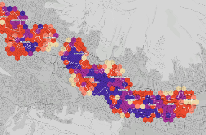
Update of the study identifying the factors that influence real estate prices in the area of influence of the Quito Metro. A geospatial and econometric approach was applied around the 15 Quito Metro stations for the year 2024..
Conceptual and Institutional Design of the Social Observatory of the Metropolitan District of Quito.
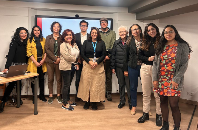
A study that developed the conceptual and institutional model of the Social Observatory for the Metropolitan District of Quito, incorporating a gender and human rights perspective
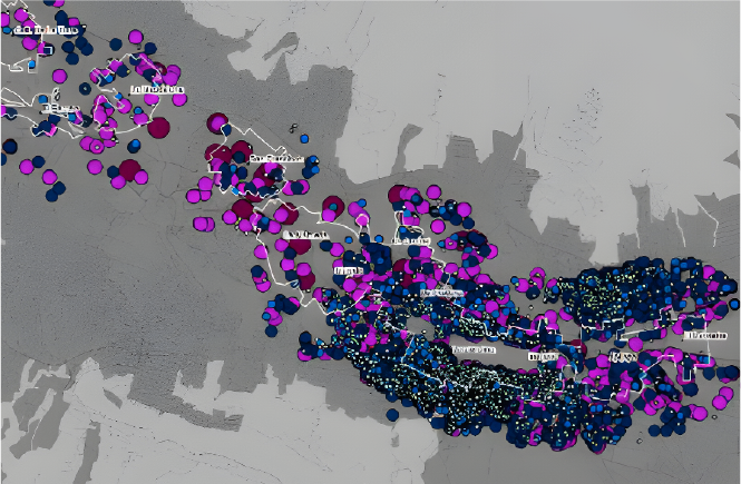
Factors Influencing Housing Prices, 2022.
A study identifying the factors that influence real estate prices in the area of influence of the 15 Quito Metro stations, using a geospatial and econometric approach.
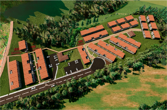
Safe Zones Alausí
A technical assistance study for the analysis of vulnerabilities, natural risks and hazards affecting habitat and human settlements, and the development of guidelines and a master plan for the identification of safe zones for the implementation of housing projects of 163 or more housing units in the Alausí canton, Chimborazo Province.
Risk-Sensitive Urban Planning
Urban planning of the Santa Rosa de Pomasqui neighborhood within the framework of the United Kingdom's Tomorrow's Cities program. The study proposes three urban models that prioritize risk management as a core element of planning, enabling appropriate residential consolidation while preserving the existing natural heritage.
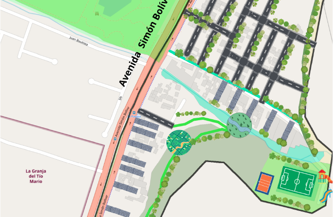
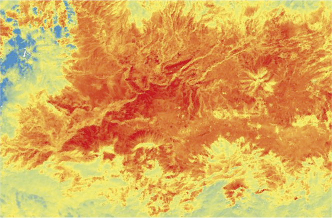
Factors Influencing Urban Heat Islands in the Metropolitan District of Quito
A study analyzing the spatial distribution of surface temperature and the assessment of factors influencing Urban Heat Islands in the Metropolitan District of Quito.
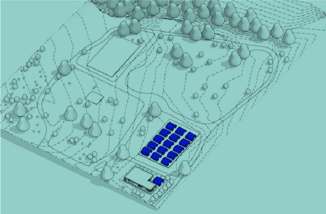
Mapathon Risks 2023
TEMPORARY SHELTER CENTERS
Temporary Shelter Centers are an interdisciplinary initiative that integrates architecture, emergency management, and humanitarian aid. They aim to plan and develop spaces that meet architectural standards, comply with minimum humanitarian norms, and ensure universal accessibility.
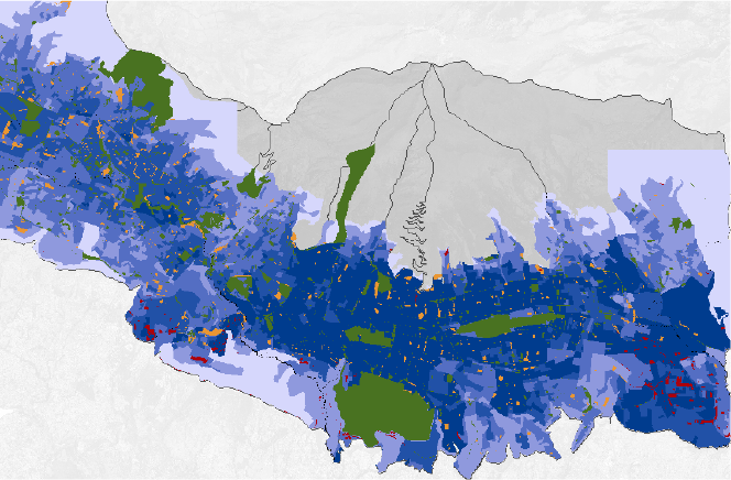
Distribution, Accessibility, and Territorial Equity of Urban Green Areas in the Metropolitan District of Quito
A study that categorizes Quito's urban greenery, proposing the technical, detailed, and analytical standardization of these spaces, considering them as sites that improve the quality of life of city residents and as vital elements for the sustainable development of the city.
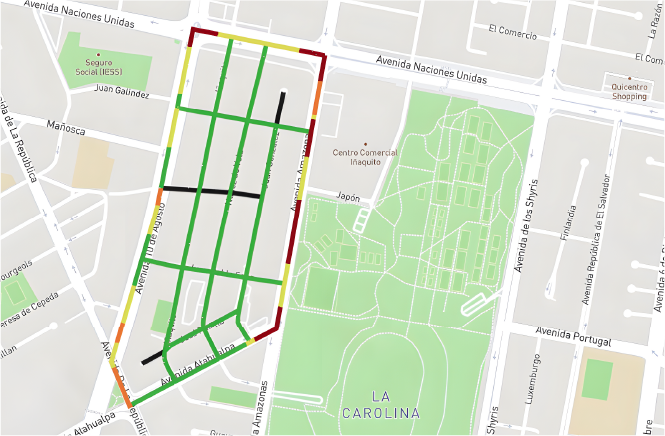
Impact study on mobility and the quality of urban tree coverage within the polygon of the AAPA project (Accessible Sidewalks Tree Plan).
A study that analyzed vehicular traffic flow and pedestrian concentration within the AAPA polygon to establish pedestrian and vehicular circulation scenarios resulting from the closure of Ignacio de Santa María Street, as part of the sidewalk pacification process
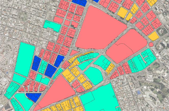
Development of indicators related to Transit-Oriented Development (TOD) at the Metro stations: Cardenal de la Torre, La Magdalena, and El Ejido
A study proposing the spatialized calculation of the TOD index, with adapted formulas tailored to the city of Quito, based on the analysis of the Cardenal de la Torre, La Magdalena, and El Ejido metro stations.
If you have a research project you would like to see visualized on our geoportal, or if you wish to collaborate in developing a new one, contact us!
Contact
General Inquiries
Documentation
User Support
Sponsored by:
Follow us on social media



Nuñez de Vela N35-204 e Ignacio San María
CP: S170515
Quito - Ecuador
Políticas de privacidad
All rights reserved








Urban Research and Information Center (CIIU)
Architects’ Association of Ecuador – Pichincha Province (CAE-P)