
Tree Plan
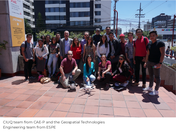
The Tree Plan is a research initiative developed by the Urban Information Center (CIUQ) in collaboration with the Faculty of Geospatial Technologies Engineering of the Armed Forces University (ESPE). Its objective is to assess the condition of 4,303 trees located along sidewalks and medians across 13 areas of Quito’s central plateau, enabling the evaluation of the environmental and ecosystem services they provide in response to urban needs.
Data Collection and Socio-Environmental Assessment of Quito’s Urban Trees
Phase 1
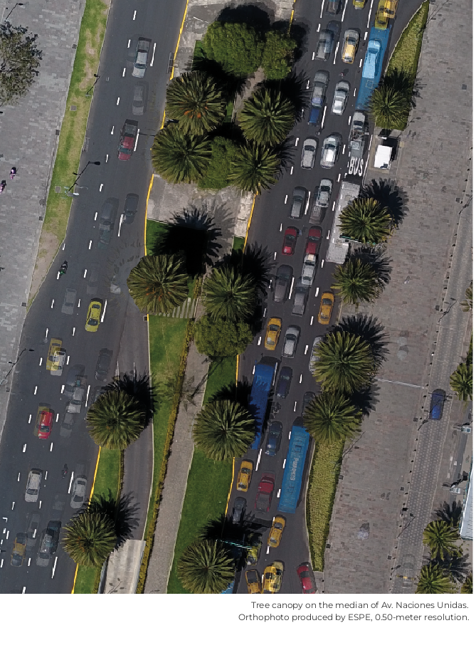
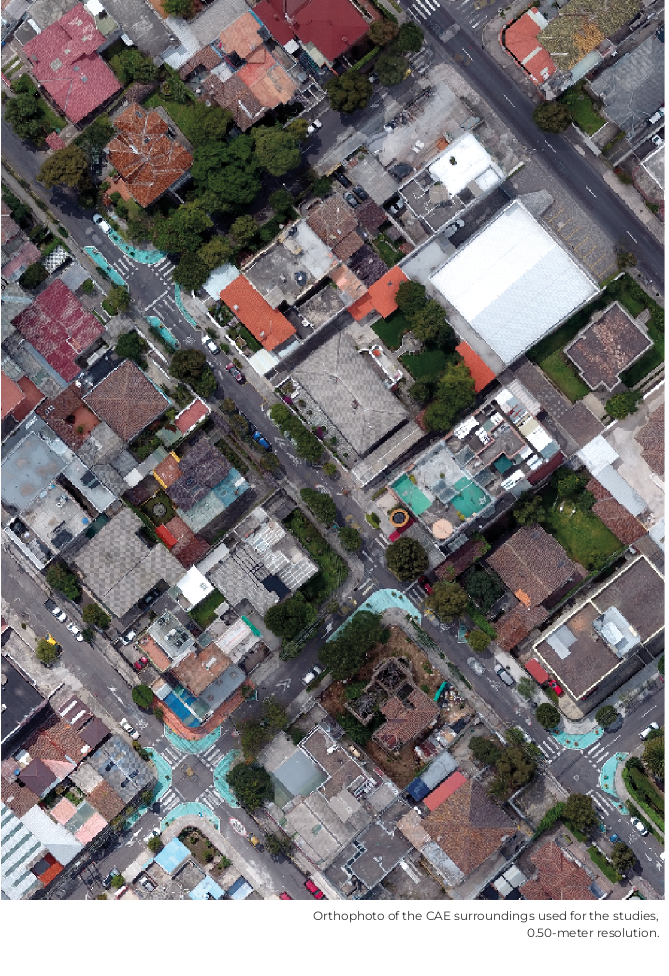
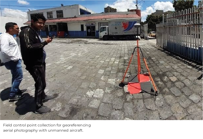
This phase aimed to establish Quito’s first geospatial database of urban trees as a foundation for long-term environmental monitoring and multidisciplinary research on the city’s urban forest. To achieve this objective, data were collected on tree locations and heights, as well as the condition and width of sidewalks and medians across thirteen pilot areas within Quito’s central plateau. The information was obtained through aerial imagery captured by Unmanned Aerial Vehicles (UAVs) and ground control points surveyed using high-precision GPS equipment.
In addition, field surveys were conducted to compile photographic records of the urban trees, which were subsequently integrated into the geospatial database.
Assessment of the Diversity and Functionality of Quito’s Urban Trees
Phase 2
The objective of this phase was to evaluate the diversity and functionality of Quito’s urban trees based on the information collected during the first phase and to provide recommendations aimed at improving the environmental and ecological performance of the city’s urban forest.
To achieve this, a spatial analysis was conducted using variables associated with biological diversity—such as species origin, basic physiognomic and physiological characteristics, and reproductive strategies—as well as variables related to the maintenance condition of urban trees at the time the photographic records were acquired, including age, foliage density, canopy continuity, and pruning status.
Tree–Urban Infrastructure Interactions
Phase 3
The third phase explored the relationships between the characteristics and conditions of urban trees and those of public-space urban infrastructure. The width, condition, and spatial distribution of sidewalks and medians were analyzed in relation to parameters such as tree height, trunk diameter, and species type, with the aim of developing guidelines that harmonize these two elements for the benefit of pedestrians.




Collaborators

DOCENTES:
MSc. Ing. Alexander Robayo - Coordinación docentes
Ing. Eduardo Kirby - Sensores Remotos y Fotogrametría
Ing. MSc. César Leiva - Cartografía y Geodesia
Ing. Izar Sinde - Cartografía y Topografía
Ing. Pablo Pérez - Vinculación con la Comunidad
ALUMNOS:
Katherine Valverde - Coordinación Estudiantes
Karen Albarracín, Marco Amaluisa, Kevin Apolo, Gonzalo Araujo, Gabriel Ayala, Galo Bastidas, Wendy Campaña, Danny Díaz, Stephany García, Carolina García, Darío Guaña, Miryan Guisha, Esteban Herrera, Santiago Jaramillo, Brayan Morales, Emilia Naranjo, Jonathan Puente, Christopher Suquillo, Jessica Vilca.
Guest Researchers
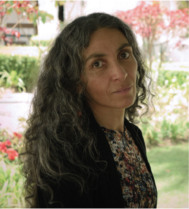
Sheika Aragundi León
Environmental Consultant
She holds a Ph.D. in Biogeography from the University of Georgia (USA), an M.Phil. in Remote Sensing and GIS from the University of Cambridge (United Kingdom), an M.Sc. in Ecology from the University of Aberdeen (Scotland), and a Bachelor’s Degree in Biological Sciences from PUCE in Quito, Ecuador.
Her research and consulting work focuses on the historical transformation of urban green spaces and its implications for urban environmental sustainability. On this topic, she has published Historical Urban Landscape as a Descriptive Feature for Risk Assessment: The “Quebradas” of Quito (Proceedings of the First International Conference on Urban Physics, 2016) and Ecological Urbanism: Quito’s Environmental Challenge (GEOPUCE, 2011).
She designed the Multifunctional Urban Green Network and Peri-Urban Geodiversity Reserves for YES Innovation as part of the proposal led by Architect and Ph.D. Grace Yépez for the “Quito Metropolitan Corridor” Ideas Competition (2020), which was selected as the winning proposal.
CIIU Collaborators
PAULINA CUBILLO BETANCOURT
Project Coordinator and Co-author
She graduated as a Geographic and Environmental Engineer from ESPE in 2005. She holds postgraduate studies in Environmental Management Systems from SEK International University (2008), Geographic Information Systems Development from the University of Seville, Spain (2012), and Territorial Planning (Cum Laude) from the University of Tor Vergata in Rome, Italy (2015). In 2020, she completed a specialization in Data Science in Costa Rica.
She currently serves as the General Coordinator of the Urban Information an information Center (CIIU).
KATHERINE VALVERDE TAPIA
Pasante
She graduated as a Geographic and Environmental Engineer from ESPE in 2022. She collaborated as the coordinator of the ESPE student team for this project while completing her pre-professional internship
If you have a research project that you would like to showcase on our geoportal, or if you would like to collaborate in the development of a new one, contact us!


Contact
General Inquiries
Documentation
User Support
Sponsored by:
Follow us on social media



Nuñez de Vela N35-204 e Ignacio San María
CP: S170515
Quito - Ecuador
Políticas de privacidad
All rights reserved








Urban Research and Information Center (CIIU)
Architects’ Association of Ecuador – Pichincha Province (CAE-P)